


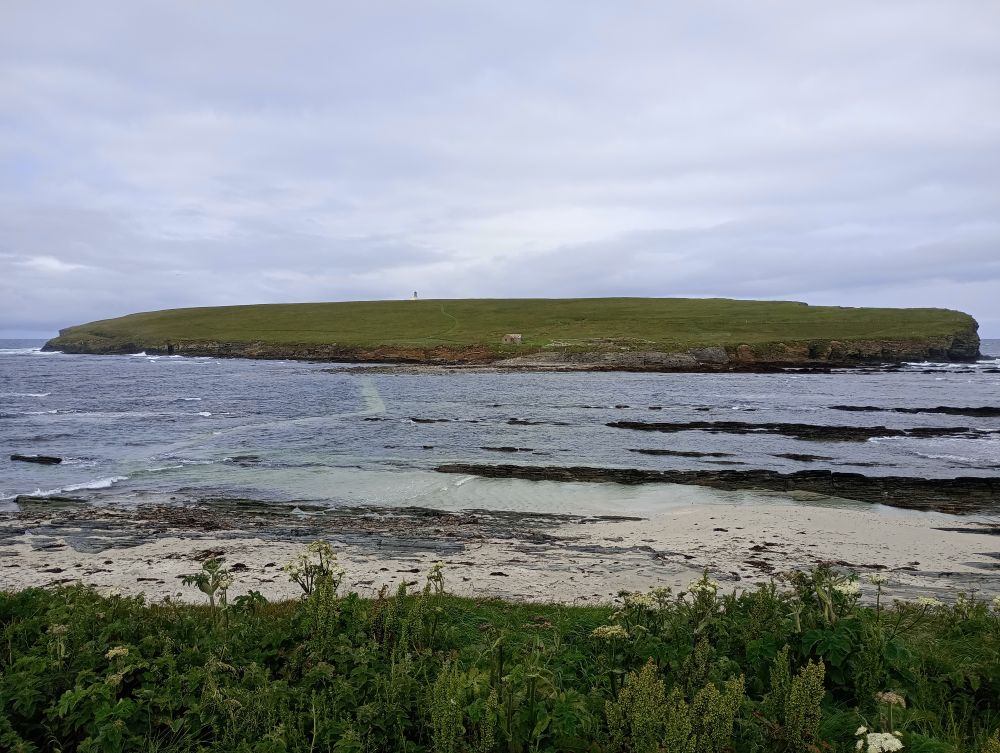
The Orkney World Heritage site of Skara Brae and many other shoreline sites on our islands like the Broch of Gurness are under serious threat of coastal erosion which may see us lose them altogether.
The ‘Dynamic Coast: Scotland’s National Coastal Change Assessment’ (NCCA) tool uses more than 2,000 maps and one million data points to make its predictions. It identifies past erosion and growth rates, and projects the data forward to show the potential change to Scotland’s coastline.
The research commenced in January 2015 and concluded in March 2017. Over 50 organisations were involved. It was led and managed by the Scottish Government and SNH and the research was carried out by the University of Glasgow.
Prof Jim Hansom, Principal Researcher from the University of Glasgow, said:
“Since the 1970s the extent of erosion is up 39%, the erosion rate has doubled and accretion extent (growth of sediment deposition) is down 22%. This is what we’d expect with climate change. That means we are seeing a net loss of our coastline. The clock is ticking and we need to start adapting to avoid unnecessary costs.”
The report from the NCCA states the reason for its creation :
- Many organisations have an obligation to incorporate coastal erosion within their statutory advice. Yet there is no centralised national dataset on coastal erosion – no single organisation has responsibility.
- Part of this is due to the devolved nature of erosion, where it is the responsibility of the landowner. The LA normally intervenes when there is a flooding concern. This means the LA may be aware of issues, but there is no national oversight.
- Any organisation will struggle to objectively appraise the risk coastal erosion poses to it’s own interests, let alone collaborate with others.
Here are some amazing facts from the NCCA:
Scotland’s coastline is 21,234 km long
4,434 km is soft / erodible
2,297 km (84%) was found to be representative
427 km (16%) needed revision
120 km updated using OS supplied DSMs
307 km needs to be updated in the future
Professor Robert Furness, Chair of SNH’s Scientific Advisory Committee, said:
“Our research shows there is a lot of work to be done to protect Scotland’s coastal infrastructure. Fortunately, about £13bn-worth of property, roads and other infrastructure is already protected by natural features such as beaches and dunes, with another £5bn-worth lying behind engineered defences. So nature itself protects many massively valuable assets. However, we must also be aware that £400m-worth of property, roads and infrastructure lies along coastlines that could be affected by erosion by 2050. Our mission now is to ensure we do all we can to protect these areas.”
Environment Secretary in the Scottish Government Roseanna Cunningham said at the launch of the assessment tool:
“The Dynamic Coast tool is a great new innovation that could help protect existing infrastructure and heritage sites from significant environmental change and damage.”
“More than 9,000 buildings, 500 kilometres of road, 60 kilometres of rail track, 300 kilometres of water supply lines and vital airports runways, such as Islay, are protected by natural defences; however some of these already face serious damage and it’s vital that local authorities, transport agencies and other planning bodies investigate how they can work together to manage coastal change before it’s too late. Tools such as this will enable them to do just that.”

Reporter: Fiona Grahame


Leave a Reply