
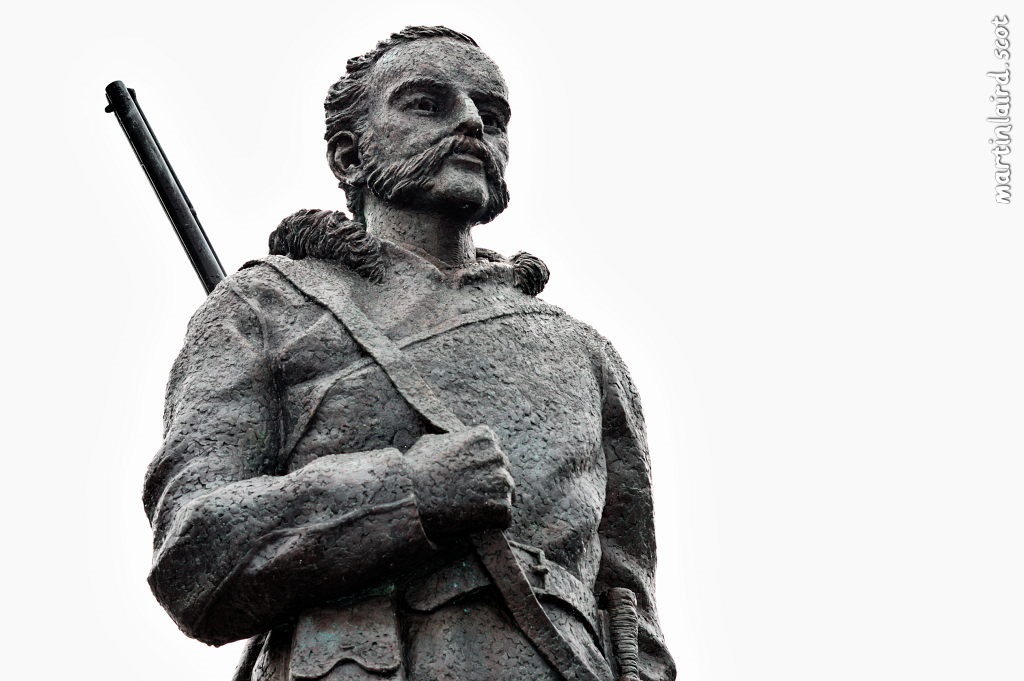
The Orcadian Arctic explorer, Dr John Rae, not only discovered the fate of the Franklin ships and their search for the North West Passage in Northern Canada, but he was also an important cartographer for the Hudson Bay Company. In this article we find out about what has happened to two of the fascinating maps he made of the landscape as he explored it.

The First Map
A week before Easter, Cheffins Auctioneers, Cambridge, contacted the John Rae Society to say an Admiralty chart of 1855, annotated by John Rae, would be coming up for auction shortly after the holiday. The guide price was given as £400 to £800. With less than two weeks to go, the JRS immediately contacted the Orkney museums to enquire if they would be interested in a joint bid. The timespan was too short for the Museum service to access funds, so, the JRS decided to appeal to its members for assistance in funding. The result was amazing! Within a few hours Canadian and American members had donated nearly £1000. Money continued to pour in from all over the world until within a few days we had reached nearly £5000. The accompanying emails emphasised how strongly the members felt that this map should come to Orkney, and many offered to pay more if needed. Firm pledges were made to at least £1000. People gave generously: one pensioner sent a postdated cheque as he didn’t have the amount he wanted to give until his next pension payment; total strangers gave large sums of money.
The auctioneer had told us that there might be a lot of interest in this chart and, as the days went by, many advised us that the guide price was probably far too low but by the day of the auction we were able to make a fixed bid of £7500, with JRS topping up the donations and undertaking to pay the auction fees. We hoped this would be enough to secure the chart but were warned about the risk from a private collector.
And, a private collector turned out to be our downfall. At £7000 an online bidder dropped out leaving us in place with our £7500. But then on a telephone line the unknown collector stepped in with his first bid of £8000. We believe he would have been prepared to go considerably higher.
The disappointment was great but John Rae’s supporters are stoical and resourceful and the donors showed no regrets. We asked the auctioneers to enquire if the buyer would consider allowing us to have a copy of the map. Our MSP wrote in support of our request but we have heard nothing. Then, out of the blue, one of our members, Richard Nelmes, told us he had a different chart annotated by Rae which he had obtained through Astrid Ogilvie, another JRS member.
The Second Map
In February 2018, Astrid Ogilvie was invited by her colleague, Ross Virginia, Director of the Institute of Arctic Studies at Dartmouth College in Hanover, New Hampshire, in the United States, to give a talk on John Rae and his connections with the explorer and anthropologist, Vilhjalmur Stefansson. He was based for many years at Dartmouth College and his collected works and papers are kept there. Dartmouth is the sister institute to the Stefansson Arctic Institute in Akureyri, Iceland, which is named for Vilhjalmur. Astrid was then working at the Stefansson institute and had discovered that Vilhjalmur was a great admirer of John Rae. She decided to do some research on the connections and similarities between the two men and subsequently wrote a short article on this in the Aglooka Advisor. This was seen by Richard Nelmes, Professor Emeritus at the University of Edinburgh, who also had a keen interest in John Rae, and he and Astrid began a correspondence.
On the occasion of her visit to Dartmouth in 2018, Astrid was accompanied by her colleague, the Director of the Stefansson Institute, Niels Einarsson. At this time, the Arctic institute’s librarian, Jay Satterfield, kindly brought out a number of papers and articles relating to John Rae and Vilhjalmur Stefansson for Astrid and Niels to look at. Among these was a map of the Arctic annotated by John Rae! The Dartmouth colleagues subsequently sent images of the map in digital form to Astrid, and also to Richard Nelmes.
In the wake of the loss of the Admiralty map, Richard Nelmes jogged Astrid’s memory concerning the Dartmouth map. After recent discussions with the Dartmouth colleagues, Astrid has established that the JRS has permission to print and display a copy of this map as they wish. The JRS is delighted to have access to this John Rae treasure and expresses its profound thanks to the Dartmouth colleagues for facilitating this. We are pleased to acknowledge the map as being “Courtesy Dartmouth Libraries”.
Fiona Gould and Astrid Ogilvie
In this short film, Andrew Appleby, President of the John Rae Society, describes the project to restore John Rae’s childhood home at the Hall of Clestrain, Orphir, and the importance of this building to the maritime and trading history of Orkney.


Leave a Reply