Skip to content
Facebook
YouTube
Bluesky
Mastodon
Search
News
Local and national political news affecting Orkney.
Views
Culture
Recipes
Events
What’s on in Orkney
Contact
Subscribe
maps
December 8, 2025
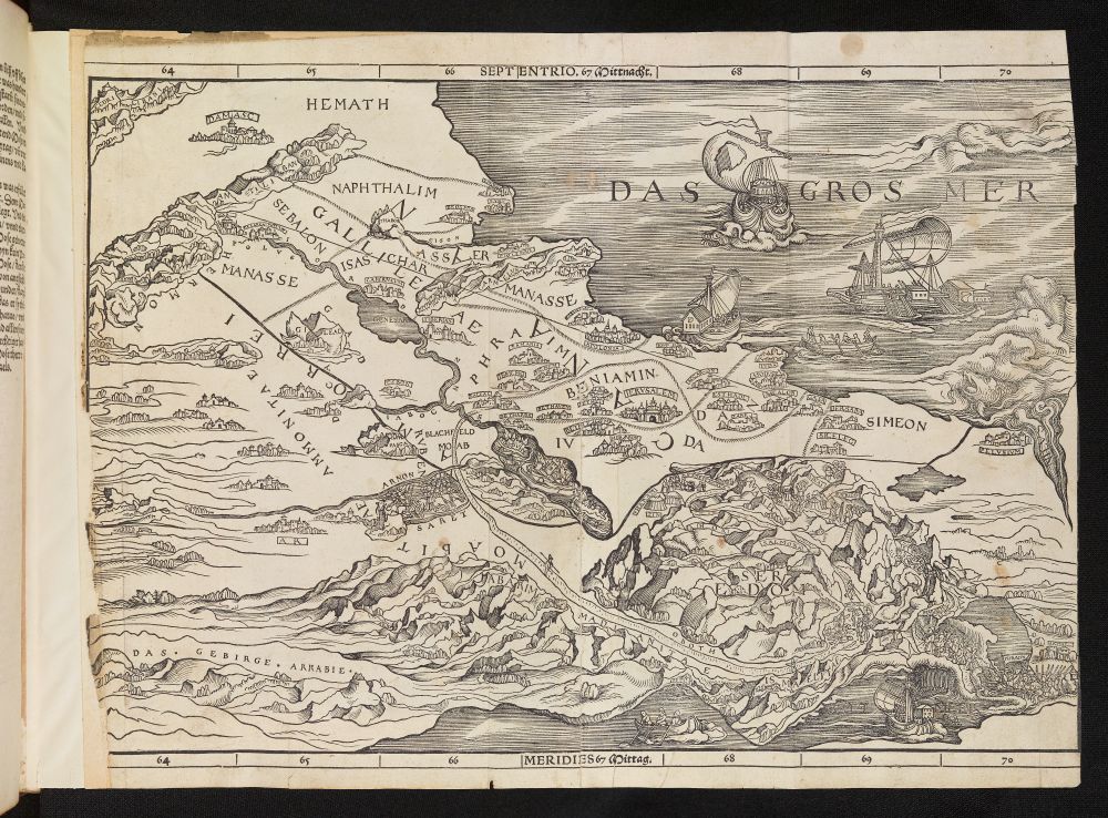
First Bible Map of the Holy Land “one of publishing’s greatest failures and triumphs.”
theorkneynews
May 19, 2024
A Tale of Two Maps: Dr John Rae
theorkneynews
July 16, 2023
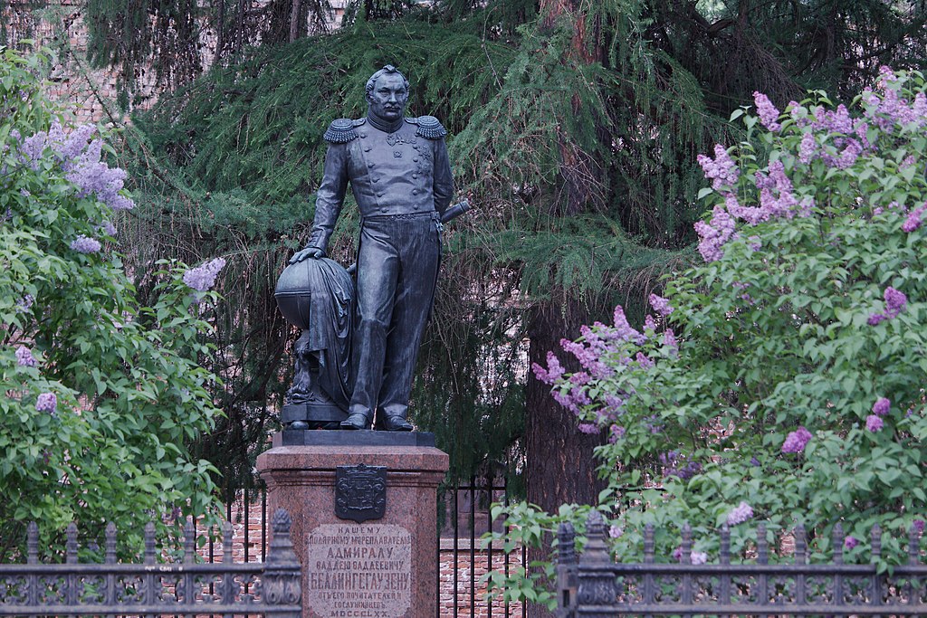
Fabian Gottlieb von Bellingshausen #OnThisDay
theorkneynews
May 4, 2023
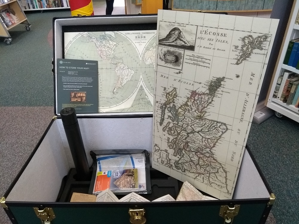
Charting the Development of Maps
theorkneynews
May 22, 2022
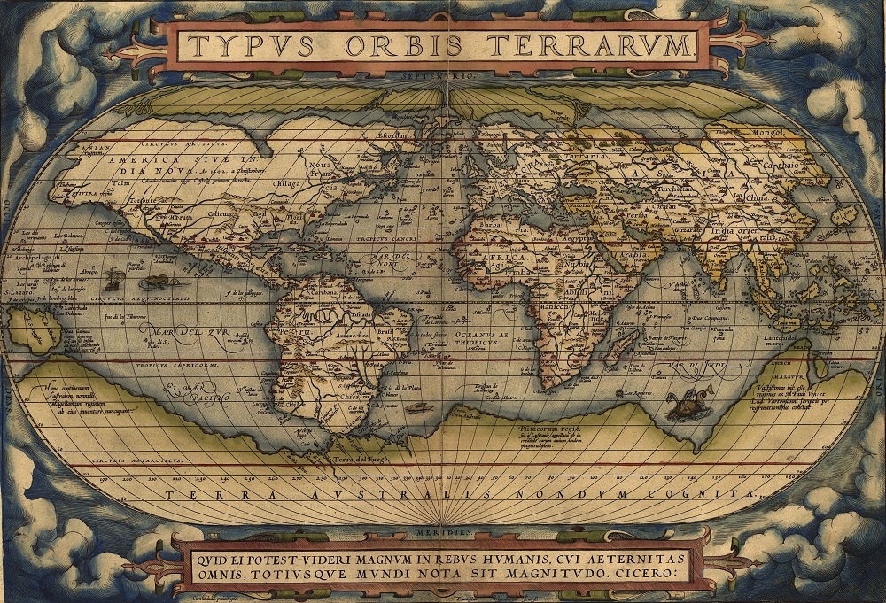
Theatrum Orbis Terrarum (Theatre of the World) #OnThisDay
theorkneynews
May 5, 2022
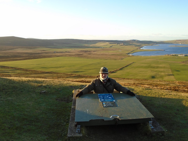
Mapping the hidden paths & trails in Orkney
theorkneynews
December 1, 2021
Into The Light
alecross1971
March 28, 2021
Astronomy Beginner’s Guide: Part 2 Compass Points in the Sky
theorkneynews
January 4, 2021
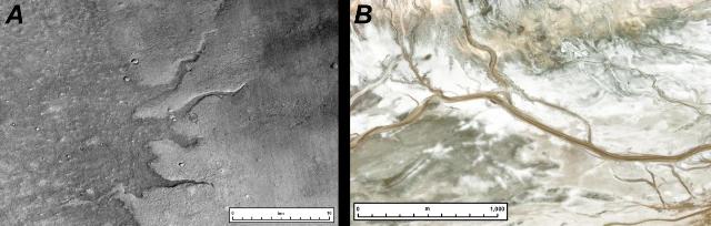
Mapping Mars
theorkneynews
July 26, 2020
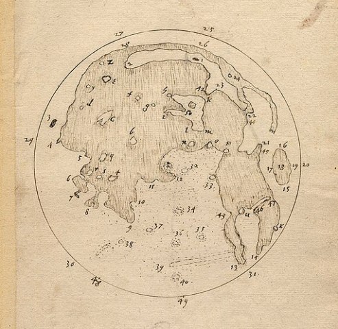
Thomas Harriot #OnThisDay
theorkneynews
1
2
Next Page
Archives
Health
.
Fashion
.
Food
.
Shopping
.
Events
.
Fiction
.
Travel
.
Japan
.
Education
.
Loading Comments...
Write a Comment...
Email (Required)
Name (Required)
Website