
Climate change and coastal erosion are seriously affecting many of Orkney’s archaeological sites today. Those factors also affected people in the islands’ past – where they situated their settlements and where they moved to when needs must.
Dr David Griffiths of Oxford University and his team have been researching the archaeological landscapes of West Mainland. Hosted by the Institute of Northern Studies, University of the Highlands and Islands (UHI) David Griffiths shared his findings on a public online talk.
Dr Griffiths covered 3 main sites: Birsay, Marwick and the Bay of Skaill.
Using geophysics and targeted excavation the archaeology revealed changing patterns of settlement as people moved further inland.
Birsay Bay

This area contains several important sites and in early times settlement was on the coastal areas, including the Brough of Birsay. Later on in the Middle Ages farms crept away from the seafront. Dr Griffiths suggested this was due to both climate change and changes in agriculture.

The Brough of Birsay, a tidal island, contains a tremendous number of buildings and is in a clearly defined area. What David Griffiths desired to look at was the wider landscape – ‘what lies outside it?’
‘Linking the known sites with the unknown’ to determine the landscape of the archaeology.
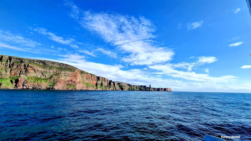
Marwick Bay

Today most people visit Marwick to walk to the Kitchener Memorial and view the seabird colonies on the cliffs. In the 19th C there were many agriculture improvements in the area squaring off fields and it continues to be a heavily farmed area.

In 2009 Dr Griffiths and his team conducted their excavations across the landscape of the Bay to determine a broad picture of past settlement.
Netherskaill and Langskaill are two historic farmsteads which David Griffiths suggests represent possible 2 halves of what was a much larger and important farmstead during the Norse period.
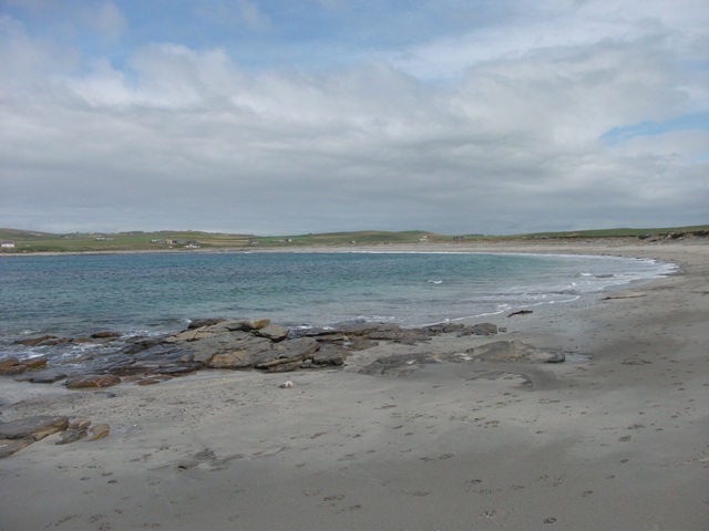
Bay of Skaill

Situated at the Bay of Skaill is the World Heritage Site of Skara Brae. Under the management of Historic Environment Scotland the Neolithic village is under threat of coastal erosion. It is protected by a sea wall but the bay continues to form around it.

For such a well visited site, extremely popular with tourists, you would think this area had been extensively excavated. Although Skara Brae was known about before its ‘uncovering’ during a great storm in 1850 there are many more places of interest in the bay area.
In 1858 the Skaill Hoard was found to the north of the bay. This outstanding collection of Norse artefacts now resides in the National Museum of Scotland, Edinburgh. The precise location of where this was discovered is not clear, however, Dr Griffiths believes it was near where the mound known as The Castle of Snusgar is.
There are many mounds in this part of the Bay of Skaill. David Griffiths and his team explored this site which was difficult terrain to excavate.
There had been more recent disturbance over the top including remains of the short lived but very profitable kelp industry.
Although they did not excavate the entire site, what was discovered was likely a Norse longhouse – there were finds of bone pins and spindle whirls – all typical finds for a Viking settlement.
The team also looked at the other mounds around which had not been identified as being of potential interest. They found this a most rewarding dig.
Under the large amounts of sand which required removal emerged a large Viking longhouse and other buildings including a byre, and a metal working workshop. The building was measured as 26.4m long with an estimated date of 1025 AD.
The building would have had turf on the outside with worked stone on the inside, a hearth and long stone benches.
Scratch marks were found on some of the stones which may have been tally marks. Other finds included combs, whetstones, and iron rivets for boat building. There were also glass beads, a glass linen smoother, amber and pottery. The pottery indicated strong links with Ireland but also trade with Northern France.
It appeared that the longhouse was originally 4 separate buildings which over time were joined. This is a very fragile site and is now covered over again.
In looking at not one particular site but across a landscape Dr Griffiths demonstrated how settlement moved from the coast to further inland as sands encroached and changing weather patterns created problems for farming.

Dr David Griffiths is Reader in Archaeology/Director of Studies in Archaeology, Department for Continuing Education, University of Oxford.
Beside the Ocean: Coastal Landscapes at The Bay of Skaill, Marwick and Birsay Bay Orkney. Authors David Griffiths, Jane Harrison, Michael Athanson was published in 2019 by Oxbow Books.
You can watch a video of the talk here. At the start the quality of the recording is poor due to some mics being left on by audience members but it improves.

Reporter: Fiona Grahame


Leave a Reply