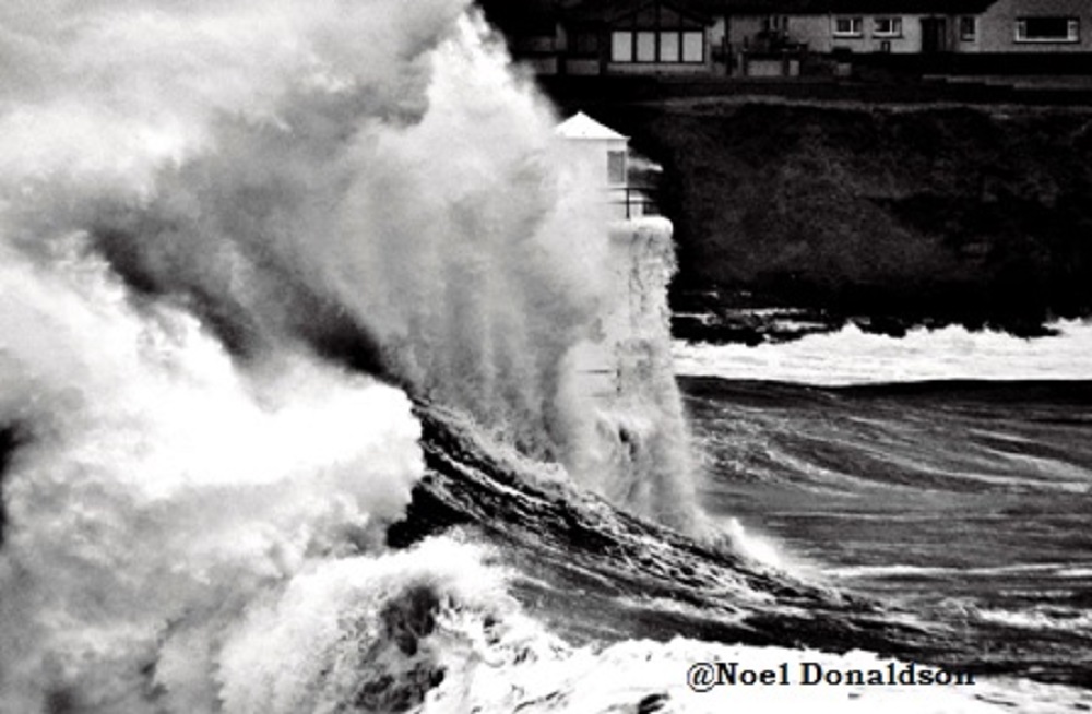
People are being urged to take precautions against flooding and travel disruption as the country prepares to be hit by Storm Babet.
A Yellow warning has been issued for Orkney and Shetland. Storm Babet will bring a period of very strong easterly winds to the northern half of Scotland.
The Met Office has issued a Red warning for rain covering parts of the east of Scotland, including Brechin, Forfar and Kirriemuir. It’s in force from 1800 on Thursday through to midday on Friday.
A wider Amber warning for rain is also in force from early Thursday to late on Friday for eastern and central parts of Scotland. Within this area, 70-100mm of rain is likely quite widely, with some upland areas possibly seeing 150-200mm of rain through the period.
Storm Babet is forecast to bring unprecedented levels of rain to the north-east of Scotland, with flooding that will cause significant disruption and be a danger to life.
The Scottish Environment Protection Agency (SEPA) have issued regional Flood Alerts ahead of expected flooding from tomorrow, which may last until the weekend. Staff are working round the clock to ensure that partners and responder agencies have the latest information.
Rain is expected to move into the south of the country through the early hours of tomorrow morning, and travel up to the North East by around 6am. The heaviest and most prolonged rainfall is expected over Aberdeen City, Dundee & Angus, Aberdeenshire and Caithness & Sutherland, where unprecedented levels are forecast.
Other parts of Scotland are also at risk of flooding as rivers respond and drainage systems become overwhelmed. The risk of river flooding is exacerbated by the fact that many catchments are already saturated following recent heavy rainfall events. The rain will be also exacerbated by prolonged, strong winds from an unusual direction.
Pascal Lardet, SEPA Flood Duty Manager, said:
“Scotland has already experienced a significant flood event this month, which communities are still recovering from, and some of the rainfall totals forecast for this week are higher than experienced over that weekend – albeit in some different areas.
“We’re expecting extensive river and surface water flooding in affected areas, with widespread impacts to transport and infrastructure. There is a risk of more significant community scale property flooding – and there will be danger to life.
“Regional Flood Alerts have already been issued, and localised Flood Warnings will be issued over the next few days as rivers respond. However, it is important to note that not all areas that could be affected have Flood Warning schemes, so please do take a Flood Alert in your area as advance notice that you could be affected.
“Take action now to protect yourself and your property. Hazards can be hidden, so please don’t walk or drive into flood water. Remember that not only is flood water likely to be dirty, 30 cm of fast flowing water can move an average family sized car, and just 15 cm of fast flowing water could be enough to knock you off your feet.”
SEPA continue to work with the Met Office to monitor the situation 24/7. People can check our Flood Updates for all the latest information and the three-day Scottish Flood Forecast to see what conditions are expected further ahead.
Met Office Chief Meteorologist Jason Kelly said:
“Confidence has increased in the chances of considerable impacts from rainfall in parts of the east of Scotland from Storm Babet, which has resulted in the escalation to the Red warning.
“100-150mm of rain is expected to fall quite widely within the warning period, with some locations likely to see 200-250mm, which is expected to cause considerable impacts with flooding likely.”
Impacts highlighted as part of the red warning is a danger to life from flood water, extensive flooding to homes and businesses and severely disrupted travel conditions. This is the first Red warning for rain issued in the UK since Storm Dennis in February 2020.
A wider Amber warning for rain is also in force from early Thursday to late on Friday for eastern and central parts of Scotland. Within this area, 70-100mm of rain is likely quite widely, with some upland areas possibly seeing 150-200mm of rain through the period.
Strong winds from an easterly direction have also resulted in an Amber wind warning being issued for eastern parts of Scotland. Gusts in excess of 70mph are likely on Thursday, with particularly poor conditions on immediate coastlines.
A number of weather warnings are in force for Storm Babet, with heavy rain also likely for Northern Ireland, as well as large parts of England and Scotland.
Jason continued:
“Storm Babet will track gradually northwards in the coming days, and although the most significant impacts are expected within the Red and Amber warning areas, there will still be wider impacts for much of the UK from this wind and rain.”
Some heavy rain is also likely for parts of south and southeast England on Friday, associated with a second area of low pressure arriving from the south. In excess of 50mm of rain is possible in some spots.


Leave a Reply