Skip to content
Facebook
YouTube
Bluesky
Mastodon
Search
News
Local and national political news affecting Orkney.
Views
Culture
Recipes
Events
What’s on in Orkney
Contact
Subscribe
flooding
December 5, 2025
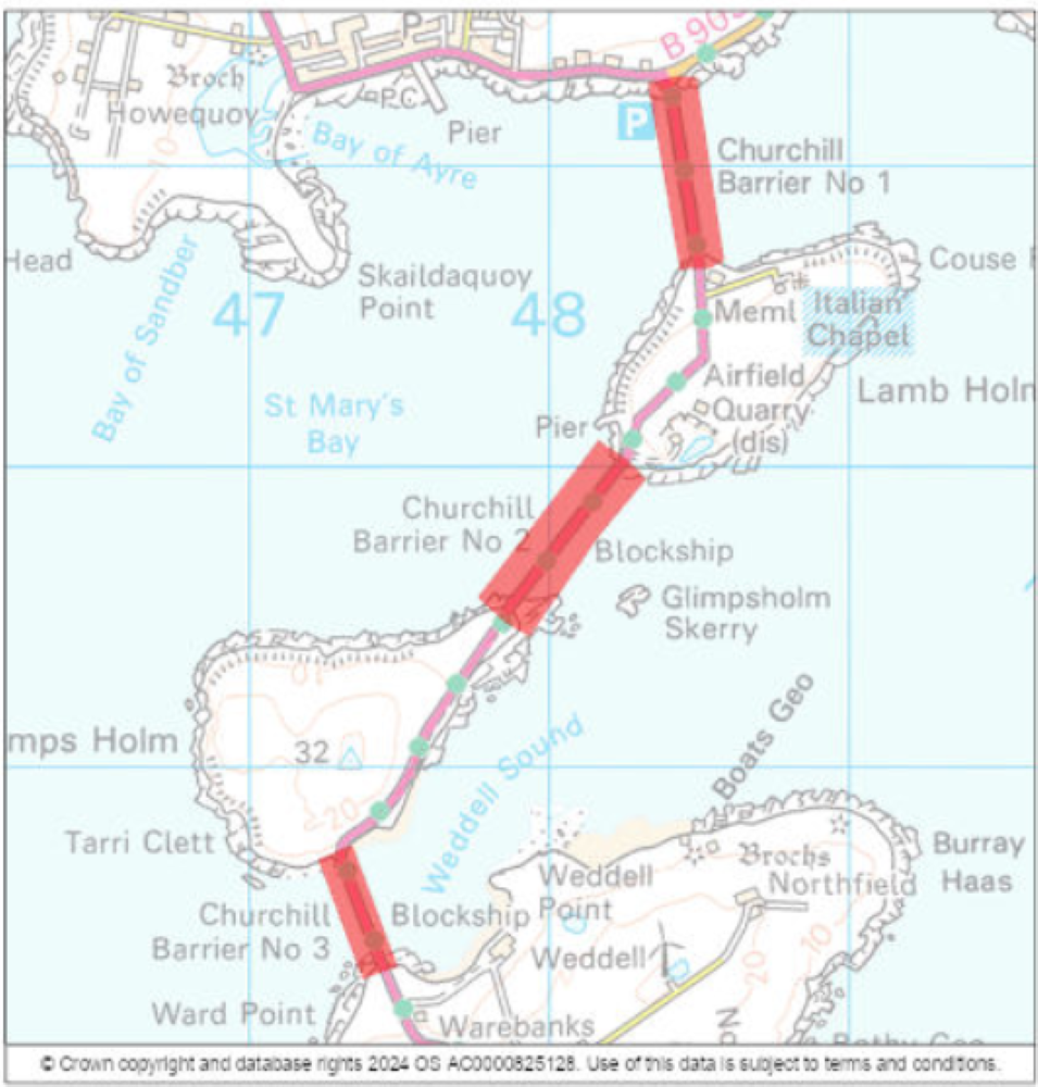
SEPA Flood Warning : Churchill Barriers.
theorkneynews
August 13, 2025
SEPA Issue Flood Alert for #Orkney
theorkneynews
December 20, 2024
A FLOOD ALERT has been issued for Orkney.
theorkneynews
December 17, 2024
A FLOOD ALERT has been issued for Orkney.
theorkneynews
November 29, 2024
Scottish Water Thanks Orkney Customers for Support Amid Increased Demand
theorkneynews
November 25, 2024
“Climate change is not just an environmental issue; it is a direct threat to public health.”
theorkneynews
November 25, 2024
A FLOOD WARNING has been issued for Churchill Barriers
theorkneynews
October 17, 2024
A FLOOD ALERT has been issued for Orkney.
theorkneynews
September 10, 2024
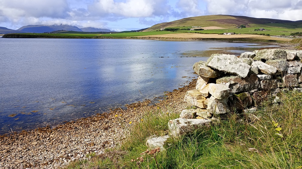
Weather Forecast: Gales. Showers or longer periods of rain, heavy at times.
theorkneynews
September 9, 2024
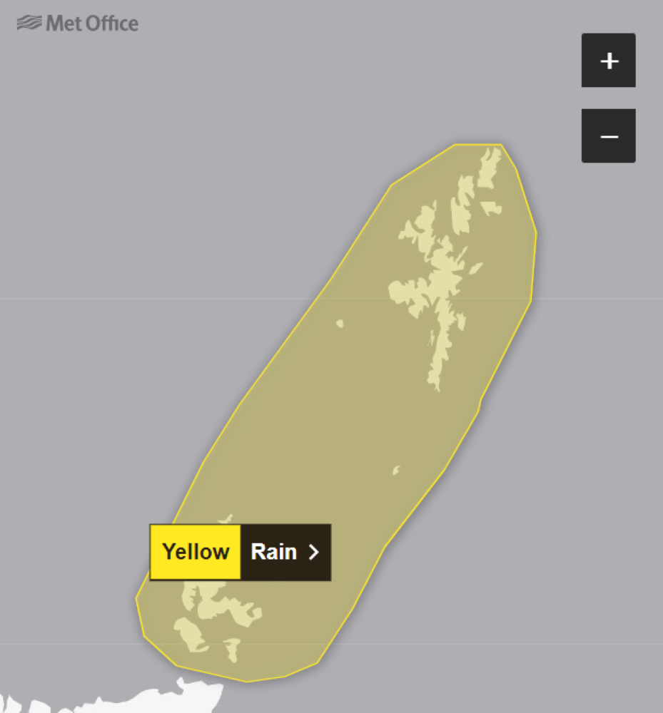
Yellow Weather Warning #Orkney & #Shetland
theorkneynews
1
2
3
…
11
Next Page
Archives
Health
.
Fashion
.
Food
.
Shopping
.
Events
.
Fiction
.
Travel
.
Japan
.
Education
.
Loading Comments...
Write a Comment...
Email (Required)
Name (Required)
Website