Skip to content
Facebook
YouTube
Bluesky
Mastodon
Search
News
Local and national political news affecting Orkney.
Views
Culture
Recipes
Events
What’s on in Orkney
Contact
Subscribe
flooding
September 9, 2024
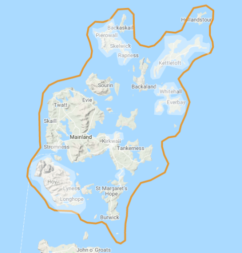
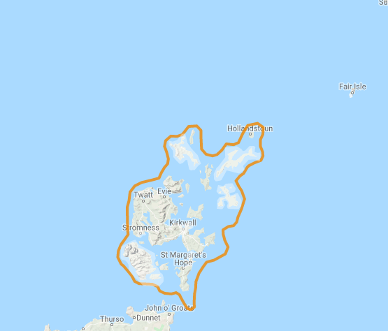
SEPA: A FLOOD ALERT has been issued for Orkney.
theorkneynews
August 11, 2024
A FLOOD ALERT has been issued for Orkney.
theorkneynews
March 13, 2024
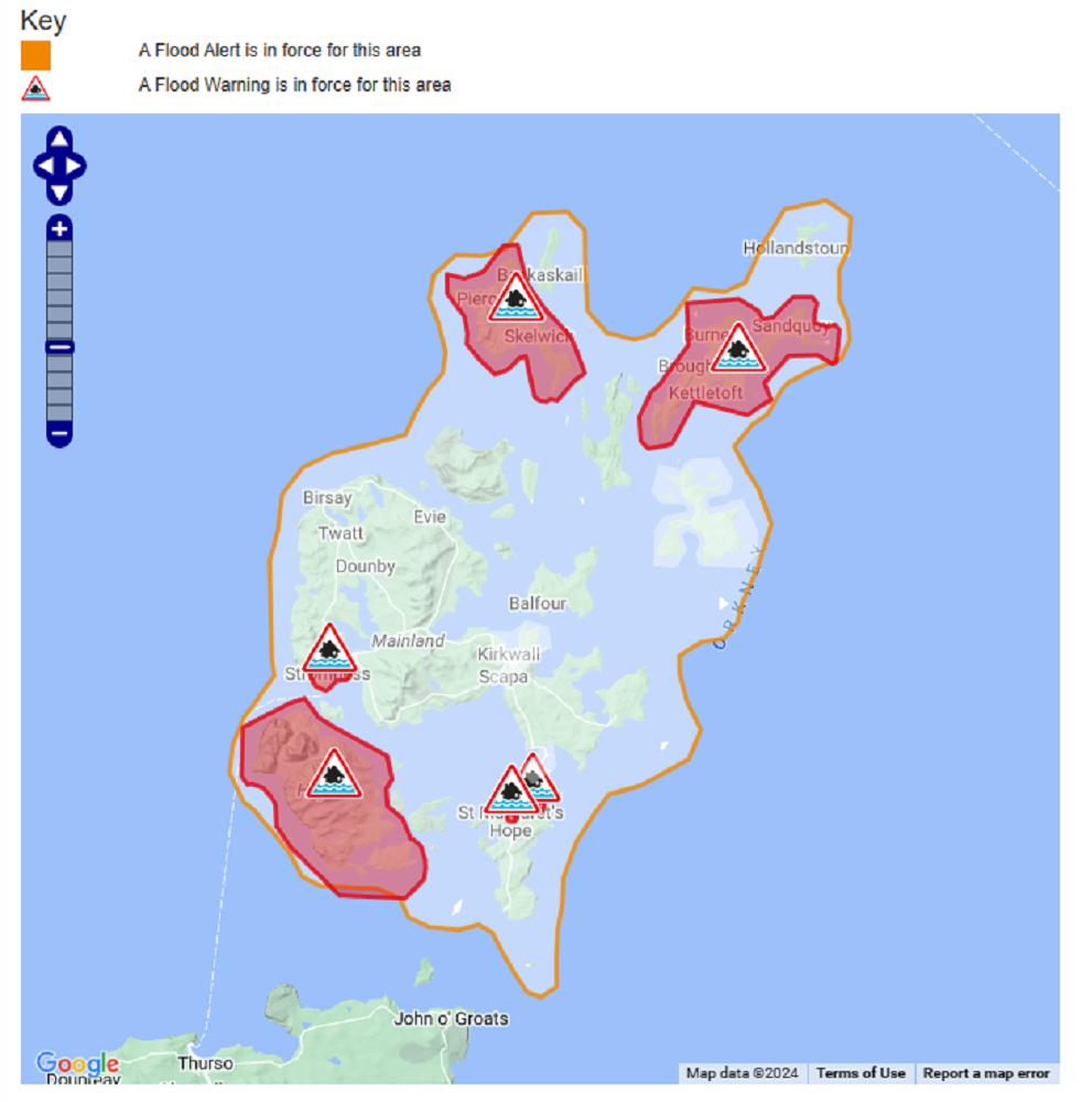
Flood Warnings for Orkney
theorkneynews
March 12, 2024
A FLOOD ALERT has been issued for Orkney.
theorkneynews
March 10, 2024
A FLOOD WARNING has been issued for Churchill Barriers.
theorkneynews
January 31, 2024
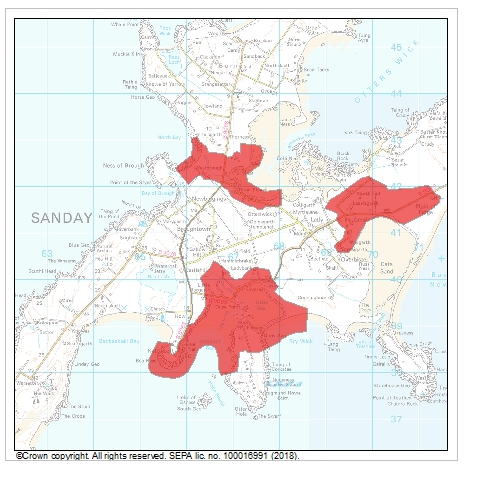
Orkney Flood Warnings, Barriers & Sanday
theorkneynews
January 30, 2024
A FLOOD ALERT has been issued for Orkney.
theorkneynews
January 21, 2024
UPDATED Flood Alert for Orkney & Flood Warning Issued for Churchill Barriers & Sanday
theorkneynews
January 21, 2024
Flood Alert for Orkney & Flood Warning Issued for Churchill Barriers
theorkneynews
December 26, 2023
A FLOOD ALERT has been issued for Orkney.
theorkneynews
Previous Page
1
2
3
4
…
11
Next Page
Archives
Health
.
Fashion
.
Food
.
Shopping
.
Events
.
Fiction
.
Travel
.
Japan
.
Education
.
Loading Comments...
Write a Comment...
Email (Required)
Name (Required)
Website