
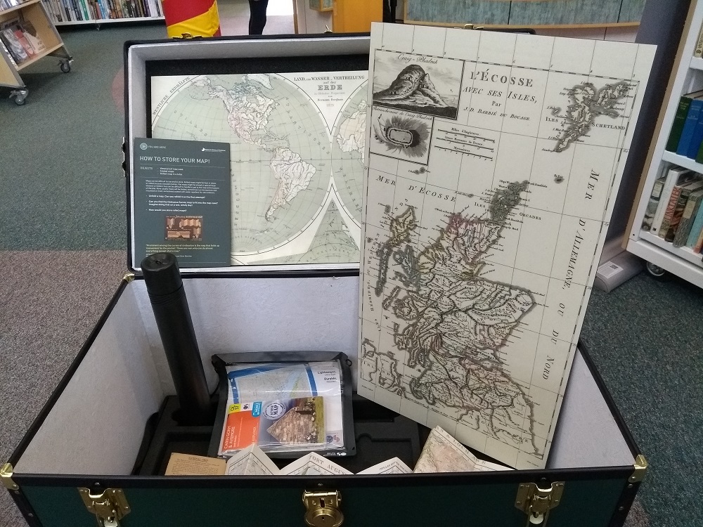

How we see our landscapes through the use of maps is the theme of a fascinating exhibition in Orkney Library, Kirkwall.
The display materials which are on loan from the National Library of Scotland describe how maps have developed over the centuries.


Maps are, and always have been, extremely political documents, describing as they do the features of the landscape that governments and/or rulers of the day want recorded. Some maps were carefully guarded as they recorded where important trade routes were or where military bases were located. Maps: The Shapes of Scotland
And of course the mapping of the seascapes, of navigation routes, has been vital for trade and for the safety of seafarers.

Today there are maps online and apps which give you a particular view of where you are – or wish to go – but often with limited information. Ordnance Survey produce detailed paper based maps which many still prefer to use giving the user a great understanding of the landscape they are passing through. And of course we also map the skies and have been doing so for millennia.


We use maps every day in our lives, some may be complex with lots of information, and others simple directions of how to get from one place to another. The Orkney News has lots of articles about maps and map makers – to find them use the search button.

Fiona Grahame


Leave a Reply