

By Bernie Bell
Recently, I’ve been thinking about various kinds of maps. It began with my starting to read Robert Macfarlane’s book, ‘The Wild Places’, where I think he hits the nail on the head, about a Road Atlas, saying that………….
”It encourages us to imagine the land itself only as a context for motorised travel.”
In a Road Atlas, roads aren’t presented as part of an adventure. A Road Atlas, shows the most efficient way to get from one place to another – altogether different to maps, which are intriguing, and make you want to explore. A map, and a road, should be something which can help you to get from one place to another, but it’s the places, and the places in between, that matter.
‘The Wild Places’ also tells of how Helen Thomas and Ivor Gurney went ‘walking’ in maps, in his room, when he was unable to access roads. The maps, gave him a key to memories of places he had been and roads he had walked, to get to those places, before increasing instability meant that he was incarcerated in an asylum. Ivor Gurney, walked the well-known places, through his mind, through the maps.
You don’t have to be there, to be there.
And that could apply to some other kinds of map.
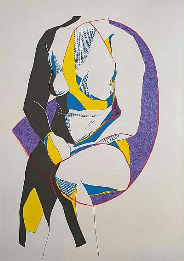
I’ve had it in my head, for years, that those ancient carvings of triangular shapes and associated lines, which are being found in increasing numbers at the Ness of Brodgar, http://www.nessofbrodgar.co.uk/ , and are also found at other sites on Orkney, and beyond, could be some kind of maps of significant places. Possibly not confined to this earth, either, but extending out further than that.
This began, I don’t remember how many years ago, when standing on top of Salt Knowe http://www.orkneyjar.com/history/brodgar/saltknowe.htm and looking about me, and then – it all took off, and I got images of lines connecting the sites on Orkney, and beyond.
A couple of years ago, when reading ‘The Beauty Things’, written by Mark Edmonds and Alan Garner, (author of ‘The Weirdstone of Brisingamen’, ‘Thursbitch’, and other most excellent books), I noticed that there’s a page in this book, with a picture of an aerial photograph, with red lines on it, linking sites. The pattern made by those lines reminded me very much of the ancient ‘line’ carvings.
More recently, Howie Firth, director of the Orkney International Science Festival, mentioned that he is looking at the theme of “maps and early mapmakers” as a possibility for one of the ‘strands’ going through next year’s Science Festival. I asked had he come across Mata, the old Polynesian wave maps, made of sticks, which show how each land mass, affects the waves around them, and so, helped with navigation between the islands. I wanted to send him something about them, and found this……… https://en.wikipedia.org/wiki/Marshall_Islands_stick_chart
Looking at those images, again, made me think of the line carvings – maps – lines on the landscape, or the sea, or the stars, as with the Nebra sky disc https://en.wikipedia.org/wiki/Nebra_sky_disk


“Oh, and it makes me wonder.”


Leave a Reply