
By Bernie Bell
Pics by B&M Bell
(For this walk, an OS map is a good idea – to let you know what’s what and where).
At the beginning of June we went for a walk along by the Oyce of Quindry https://theorkneynews.scot/2021/06/03/the-misty-moisty-oyce-of-quindry/ and noted a possibility for where we could park the car to walk along to the Oyce of Herston.
Before I embark on describing this walk to you, I’ll digress a bit into a ramble about the Oyce word. In a previous article when I mentioned the Oyce of Firth, I was told that the word is Ouse, not Oyce, and I answered – admittedly a bit arrogantly –
“I refer to the Oyce of Firth, partly because of this…..https://theorkneynews.scot/2017/06/18/the-oyce-of-firth-part-one/
…and partly because I like the sound of it better than Ouse!
I refer to the Peedie Sea rather than the Peerie sea, for the same reason. I am of a lawless breed.”
I’m now going to apologise to Martin Howe, as on our walk by the Oyce of Herston we met an Orcadian couple who taught us how to say the word properly. It’s pronounced ‘Oose’, like in “There’s a moose, loose aboot the hoose.” It makes all the difference hearing it being said. I like Oose even better than Oyce, so I’ll go with that from now on! They told us that the word is of Norse origin – as are many in Orkney.
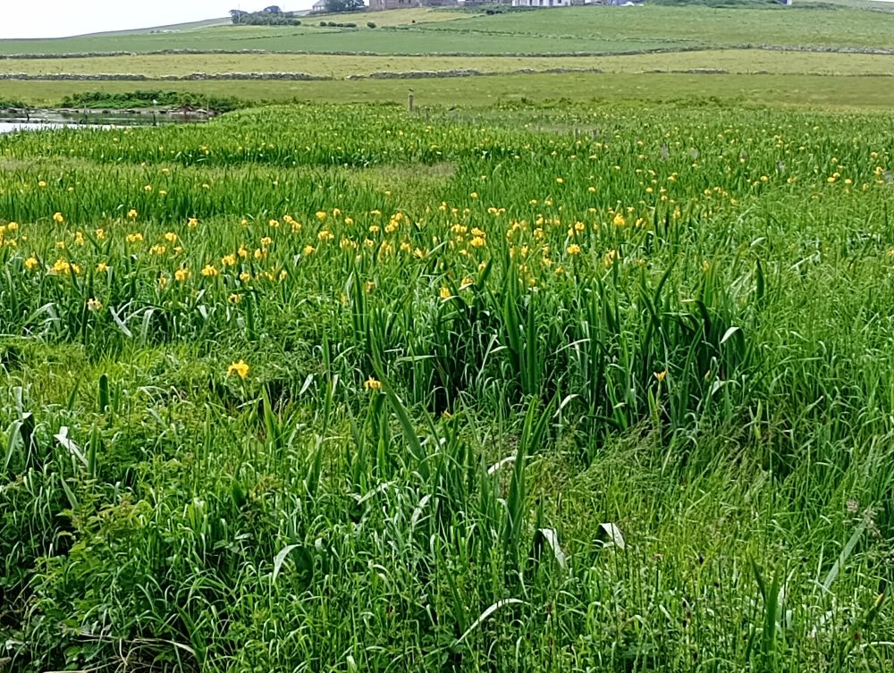
But I’m jumping ahead …..we drove to Kirkhouse, and tucked the car in where it wouldn’t be in anybody’s way. We then went down onto the shore, hoping to be able to turn left and walk along the shore-line to the Oyce of Herston. It turned out that that way was a bit heavy-going for me so we turned back, noticing sweet little clumps of Greater Sea-spurrey growing among the stones and sand…

More of this bit of shore-line……later.
We passed the renovated mill, stopping to admire Robinson R.R.’s sculpture again…

…and carried on walking up the road.
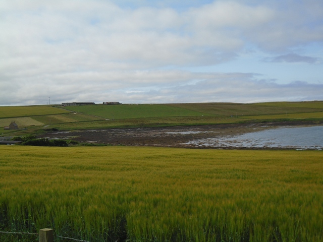
It was good to be able to see the Oyce of Quindry from the opposite end – with the water right out again…..

It was on this part of the road that we met with the Orcadian couple who put us right about pronunciation, and who were also a mine of information about the area, having lived on the opposite side of the Oyce of Quindry for years. They told us that the section of shore we’d been on at the start of our walk had been an old burial ground and that, some years ago, human bones had eroded out of the sand there. This answered our question in the piece I wrote previously – why is it called Kirkhouse, when the is no sign of a Kirk? There was one here, not far from the burial ground. They also told us that the road which goes past the farm at Kirkhouse was said to be a ‘haunted road’.
Another story goes that, years ago, when the top-soil from the long-abandoned burial ground was being removed to be used for agricultural purposes, a nearby famer took some of the old headstones to use as gate-posts. I wonder if they are still standing at the entrance to someone’s farm?
We were being told all this, whilst standing right above that area, and we could easily imagine the Kirk being there, the cemetery, the funeral processions going along the ‘haunted road’.
When we got home, we looked it up in the ever reliable Canmore, and this is what we found…. https://canmore.org.uk/site/9633/south-ronaldsay-kirkhouse-st-olas-chapel
Which helped to fill in the picture.
As the tale included bones eroding out of a burial ground, we also had a look in ‘Rising Tides’ by Julie Gibson – illustrated by Frank Bradford https://shop.orkneyarchaeologysociety.org.uk/product/rising-tides-revisited/, and sure enough, on pages 14, 15 and 16, we found Kirkhouse, or Kirkhoose, the burial ground, the farm and a link with a type of burial also found by Skaill House, Sandwick, where the skull of the person is protected by a ‘head box’ as mentioned here…… https://theorkneynews.scot/2021/01/09/bernies-stories-skaill-house-2/
The image on Page 14, is exactly where we’d been mooching about on the shore.
This could be a good point at which to mention that, if by some chance you find what might be human remains, please report them to the local County Archaeologist – in Orkney, that’s Julie Gibson…… Julie.Gibson@orkney.uhi.ac.uk
We carried on along the road, and noticed the outline of the Burnt mound as marked on the map, just up the hill to our left. There’s another one further along the road, as you turn up the hill.
We were hoping to be able to get to the shore at the Oyce of Herston, but ‘twas not to be. Not surprisingly, the road has drainage ditches along the sides, which more soople people could jump across, but not me. Though we couldn’t get to it, we could see the Oyce, with its Kirk, now a private residence…….

We could also look across to the Sands O’ Wright …

Mike noticed what we think must be a boat-house, which someone has made to look like a little church….

Cast away on a desert island?

Maybe not – but on a fine, sunny Orkney day in July, with the sky of blue and the sea of blue – it could be……
We crested the hill, then turned back. As is often case, we noticed something on the way back that we hadn’t seen on the way out. It looks like an old well….

………..though it’s not marked on the OS map – but neither is the mill at Kirkhouse. The Ordnance Survey isn’t infallible!
Then back to the car and home to fish fingers, beans and chips. Another grand day out on a fine Orkney day.
In that one, quite short, walk along a stretch of road we encountered quite a time-span of interesting sites – Bronze Age (burnt mounds), the site of a Norse chapel, a Medieval burial ground, and a fine old mill. That’s Orkney for ya’.

Leave a Reply